MENTARI Offers 5+ For Renewable Energy Geopastial Planning for East Indonesia
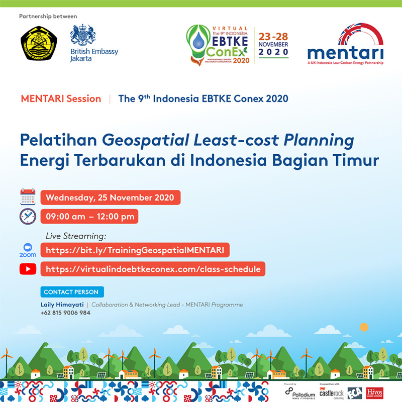
Jakarta, 25 November 2020 – The MENTARI program (Menuju Transisi Energi Rendah Karbon/Towards A Low-Carbon Energy Transition) offers a low-cost geospatial plan, which they call five plus steps. These five steps are expected to provide planning for renewable energy development in Eastern Indonesia which are more targeted, efficient, effective, and not just low-cost. This was unveiled to the virtual introduction training activities: The Renewable Energy Geospatial Lease-Cost Planning for Eastern Indonesia, (25/11), in Jakarta.
This activity is one of the sessions held by the MENTARI Program as one the sight event in Indo EBTKE CONEX 2020, among other activities. The MENTARI program is a program in cooperation with the Ministry of Energy and Minerals and The British Embassy Jakarta, with the aim of encouraging the development of renewable energy in
Indonesia. One of the scopes carried out by the MENTARI program is support for improving policies in the field of renewable energy, both on-grid and off-grid, in order to increase the target of renewable energy mixes as proclaimed in the National Energy
Plan in the Presidential Regulation No. 22 of 2017, namely 23 percent of renewable energy mixes in 2025.
In this activity, there was also present Damar Pranadi, Policy Associate of MENTARI program and Kemal Prakorso, MENTARI program Consultant. Apart from both, Eman Priyono, EVP Development of Maluku, Papua, NTB, and PLN; Kurniawan Setiawan from NZ Mates was also present.
The five steps in question are rooftop tagging, settlement delineation- grid 20 kv, demand forecasting, networking planner and optimization. Rooftop tagging, according to Kemal Prakorso, is the first step to mark all buildings and identify households through satellite imagery on Google. This method will provide the latest data on household information that does not yet have an electrical connection.
The settlement delineation is used to group households that do not have these electrical connections within certain clusters or distances that can be analyzed further. So if the distance of the house is far apart, it can immediately be sure to use with a mini-grid or other system. Meanwhile, using a 20 kV grid, it means that it can connect with the existing PLN network (Perusahaan Listrik Negara/State-owned Electricity Company). MENTARI will communicate how much electricity the household need to be connected to.
The most decisive, Kemal also explained, is a forecasting demand or estimating how much is the electricity needs of each household. For example, electricity needs for fishing villages or for agricultural villages. Because this is what will determine the amount of kilowatt-hours needed and also the services will be provided. For example, whether it reaches 24 hours, 12 hours or 6 hours a day. The end result is optimization, whether the area needs it cheaper with a mini-grid or another. The five steps will be combined and optimized using software.
“It can either be an open-source or web-based, we can enter economic and spatial data in it, so that we can see the cheapest optimization steps in a very interactive way,” he explained.
Previously, Damar also explained the choice of electrification systems that could support in the implementation of the Geospatial Least-Cost, namely by using network extensions. By connecting with existing networks, in this case PLN’s network, with a 20KV grid extension or by using a mini-grid that is adjusted based on the needs of the household use.
Meanwhile, individual systems can meet low power demand in certain locations for limited time. It is hoped that this offline geospatial training can meet the needs of 700,000 houses in the eastern Indonesia area which still has not been connected with electricity and still relies on diesel. Diesel also has higher emissions.
This is, what Damar specifically calls, “networking planner”.
“From the MENTARI program itself, with this transition energy, we will try to improve the economy in Indonesia and of course, with geospatial planning, it is expected to be able to help the welfare of the East Indonesian society. MENTARI will also carry out assistance in the preparation of a specific concept and technical for the policy makers,” he explained. (Musfarayani/MENTARI)


